The South River can’t claim a Captain John Smith visit as the Magothy to the north can. Its entrance isn’t majestically guarded by the U.S. Naval Academy’s fleet of YPs like its big sister the Severn. And it’s not as pristine and secluded as the two smaller Chesapeake tributaries, the West and the Rhode, that lie immediately to the south.
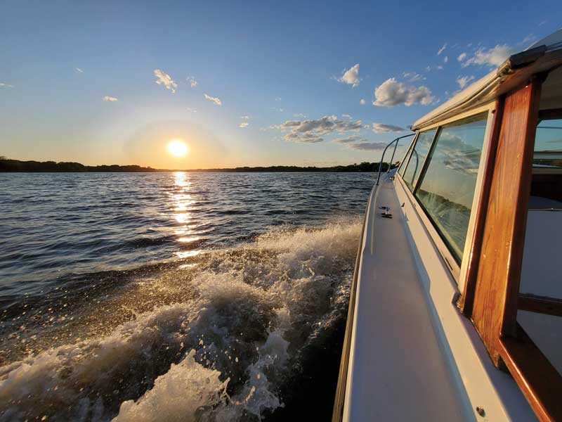
But you can take it from a boater who has lived within a stone’s throw of the South River for almost a decade: this 10-mile, close-to-Annapolis river has more than its share of history, majesty, seclusion, and fun to make for a delightful long weekend spent exploring its many creeks, marshes, and eateries.
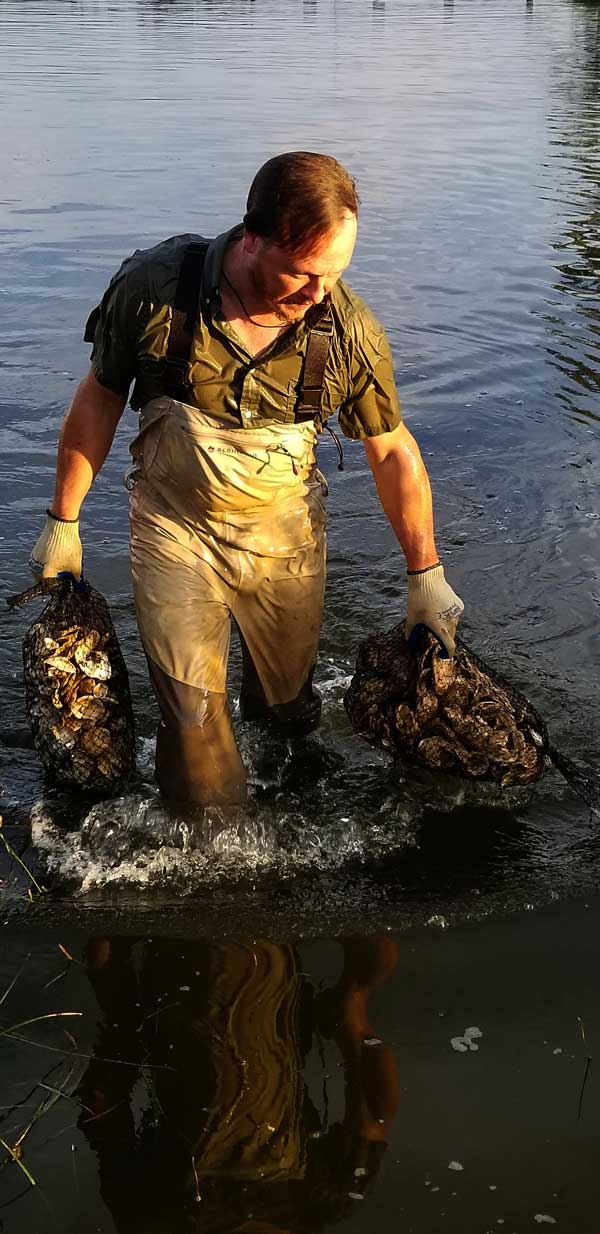
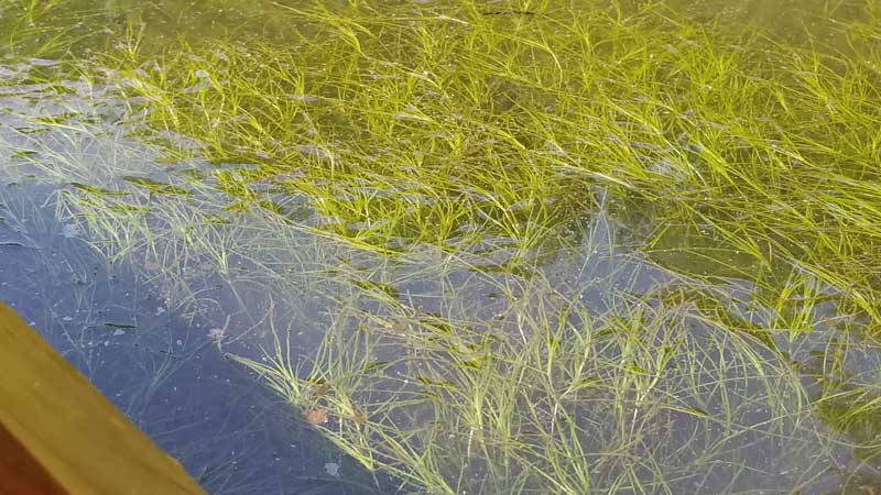
Jesse Iliff, the South River’s Riverkeeper, sums it up this way: “The river’s health is coming back. There are more grasses in Selby Bay than we’ve seen in a long time. The water quality is improving. Crabbing, not only at the mouth of the river but also along some of the shorelines in the north side of the river, is improving. And the ospreys and eagles put on an exciting aerial show when they are out foraging for food or building materials.”
Formerly called the South River Federation, the newly formed Arundel Rivers Federation, encompassing the South, West, and Rhode Rivers, is charged with monitoring and improving the health of this important watershed.
History of the River
The South River has played a significant role in the history of Annapolis—and of the United States. For the majority of the 17th century, the port of London Town, sitting at the confluence of eight major colonial roads on the south side of the river, was the busiest commercial port in the area. Hundreds of tons of tobacco and other agricultural products were carried across the river by oar-powered, open barges to what is now the community of Wild Rose Shores, which sits at the end of the aptly named Ferry Point Road. From there, goods found their way to Annapolis and points north.
Goods weren’t the only thing those early ferrymen transported. Passengers were also a big part of the revenue stream of the ferry companies that plied the narrow stretch of river.
Famous personages such as George Washington, Thomas Jefferson, and Francis Scott Key were among the many notables availing themselves of the passage. The ferryman’s logbook notes that Key paid “two heifers” to transport his wagon packed with cider and melons. The ferry once capsized under the weight of 25 passengers who were en route to Annapolis for the horse races that the colonial city had instituted. All aboard survived, and the party eventually made its way to the races albeit in clothes that were a bit soggy.
The first bridge to cross the South River was built in the 1880s, effectively closing the ferry for good.
Visitors to the South River can learn more about the London Town settlement by taking a tour of the grounds. Dockage is available at the site, which is immediately east of the Route 2 Bridge (be sure to check the website for special events and hours of operation).
Deep Creeks Beckon
The river is widest at its mouth and relatively narrow as it makes it way west. Two bridges cross the river. The Route 2 bridge shows 53 feet of clearance, while the Riva Road bridge only carries 23 feet. The center channel is wide and deep with most depths near the shore averaging six to eight feet. Be on the lookout for the remnants of several duck blinds as several poke out on either side of the channel.
A myriad of long and deep creeks beckon. On the river’s north side, Harness Creek, which borders Quiet Waters Park, has become a favorite for raftups and overnights. There’s even a hidey hole just as you enter the creek on the east side. Depths going in are around five or six feet. It’s best to explore via dink or kayak before you venture in! Kayaks and other water toys can be rented seasonally at the Quiet Waters Park dock.
A short hop west leads you to Aberdeen Creek. Again, boaters will find deep water almost to the shoreline and great dink exploring all the way to the end.
As you work your way from Harness to Aberdeen Creek, look to your starboard. Immediately to the left of a modern house that looks like a ship’s prow, there is a copse of trees partially concealing one of the area’s oldest houses, the circa 1690 Federalist-style house known as Lydia’s Retreat. Now in a state of disrepair, the residence in the past has been the sight of several paranormal explorations which have left investigators scratching their heads about the rumors that the place is haunted.
Just around the bend from a white colonial house that sits on what would have been the London Town Ferry’s northern landing spot is the narrow entrance to one of the South River’s hidden jewels: Crab Creek. Honor the markers as you enter and drop your hook anywhere you like. The creek carries eight to 10 feet in the center with good, muddy holding. Although this creek is within sight of my house, I regularly overnight here when I am in the mood for peace and quiet and a solitary dark ‘n stormy.
The next creek working west is Church Creek. Wide and deep, this is another great place to overnight. Be sure to take your dink or kayak to its headwaters. Boaters may observe plenty of wildlife along the banks and in the marshes.
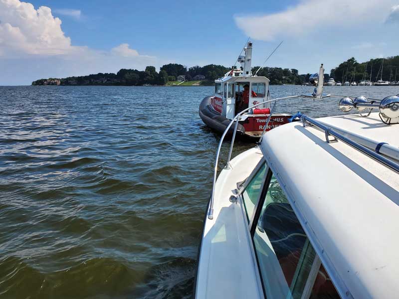
If a meal off the boat is in your plans, you can’t go wrong at either the The Pier Oyster Bar (formerly Coconut Joe’s) or the venerable Mike’s Crab House. Both offer ample dockage and great water views. Try the fried pickles at the Pier; and a plate of Mike’s local oysters, a fried fish sandwich, and a dozen fat crabs can certainly fill you up in no time. The white tablecloth restaurant Yellowfin is just off Gingerville Creek. There’s limited dockage after hours, but it’s an easy dinghy ride from any of the anchorages discussed above. They make a mean martini, and their cioppino fish soup is worth the calories.
Past the Riva Bridge is the wide and deep Broad Creek, which is worth exploring, but too busy for an overnight.
If you can get under the Riva Bridge, there are a couple of fun kayak-only backwaters that will transport you into no-man’s land. Look for the first of these just before you come abreast of the Harbor Hills docks to your port. The other byway is about half a mile past the Harbor Hills Pavilion, again on your port. Look for the entrance just as you pass a modern, two-story boathouse.
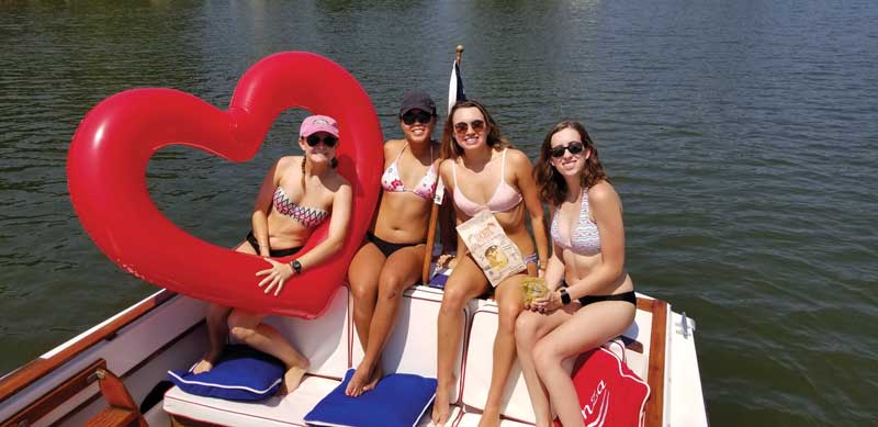
There are two small bays on the south side of the river worth a stop: Glebe Bay, just down from London Town, offers a nice anchorage if you follow the shoreline around on the east side. The shallow anchorage adjacent to the wetlands of Selby Bay provides a nice jumping off point for a kayak or land-based hike.
If you’re in need of fuel or marine services, there are several marinas that can fill the bill. Selby Bay Marina and Holiday Point Marina are just past the entrance in Selby Bay, while Liberty Marina and Pier Seven Marina are at the Route 2 bridge.
I’ve cruised all over the Bay. And I’ve outrun my share of summer storms where the black clouds threaten to swallow the horizon. Whenever I make the turn west past Thomas Point, I know safe haven is within reach. The South River welcomes the wayward mariner with open arms… and plenty of secure spots to spend the night.
Nearby Oasis Marinas:
- The Marina at Nautilus Point
- Annapolis Town Dock
Learn more at oasismarinas.com.
By Craig Ligibel